


★★★★★ Excellent 4.8
Sydney to Cairns Road Trip Guide
Sydney to Cairns Road Trip Guide
2,500 km of beaches, reef and rainforest. The most driven coast in Australia, finally mapped properly.
🗺️ Complete 2,500 km Route: Sydney, Byron Bay, Noosa, Whitsundays, Great Barrier Reef, Daintree
📍 14 & 21 Day Itineraries: day by day GPS, every stop timed and priced
🐟 Reef Operator Comparison: 6 operators ranked, Port Douglas vs Cairns, snorkel vs dive
🪼 Stinger & Cyclone Calendar: month by month swim safety, safe beach alternatives, season ratings
🐊 Cassowary & Crocodile Protocol: the species specific rules north of Rockhampton
🏄 Surf Break Ratings: Byron, Snapper Rocks, Noosa Point, Agnes Water. Beginner to expert
♾️ Budget Breakdown: 3 tiers, AUD & USD, real vendor pricing
No AI filler. No recycled blog posts. Researched on the ground.
Couldn't load pickup availability
What's included
What's included
A Sydney to Cairns guide with 14-day itinerary, GPS coordinates, reef operator matrix, stinger calendar, and crocodile protocol.
How to use
How to use
Download the PDF after purchase, open it on your phone, and follow the GPS points and daily plan step by step while driving.
Our help & support center
Our help & support center
We are dedicated to ensuring your satisfaction. Our team is always available to assist you with any questions or issues you may have. Our goal is to help you grow your business and achieve success.
Support Email: travelers@europetrip.us
14-Day Refund Policy
14-Day Refund Policy
We offer a 14-day refund policy.
If you are not satisfied with your purchase, you may request a refund within 14 days of the purchase date. To be eligible, you must contact our support team within this period and provide your order details.
Support team email: helena.europetrip@gmail.com
Refunds will be processed to the original payment method within a few business days after approval.
If you have any questions, our support team is here to help.


East Coast Highway:
Sydney to Cairns
2,500 km of beaches, reef and rainforest. The most driven coast in Australia, and the one most people drive badly. Three climates, two states, one guide that finally maps it properly.
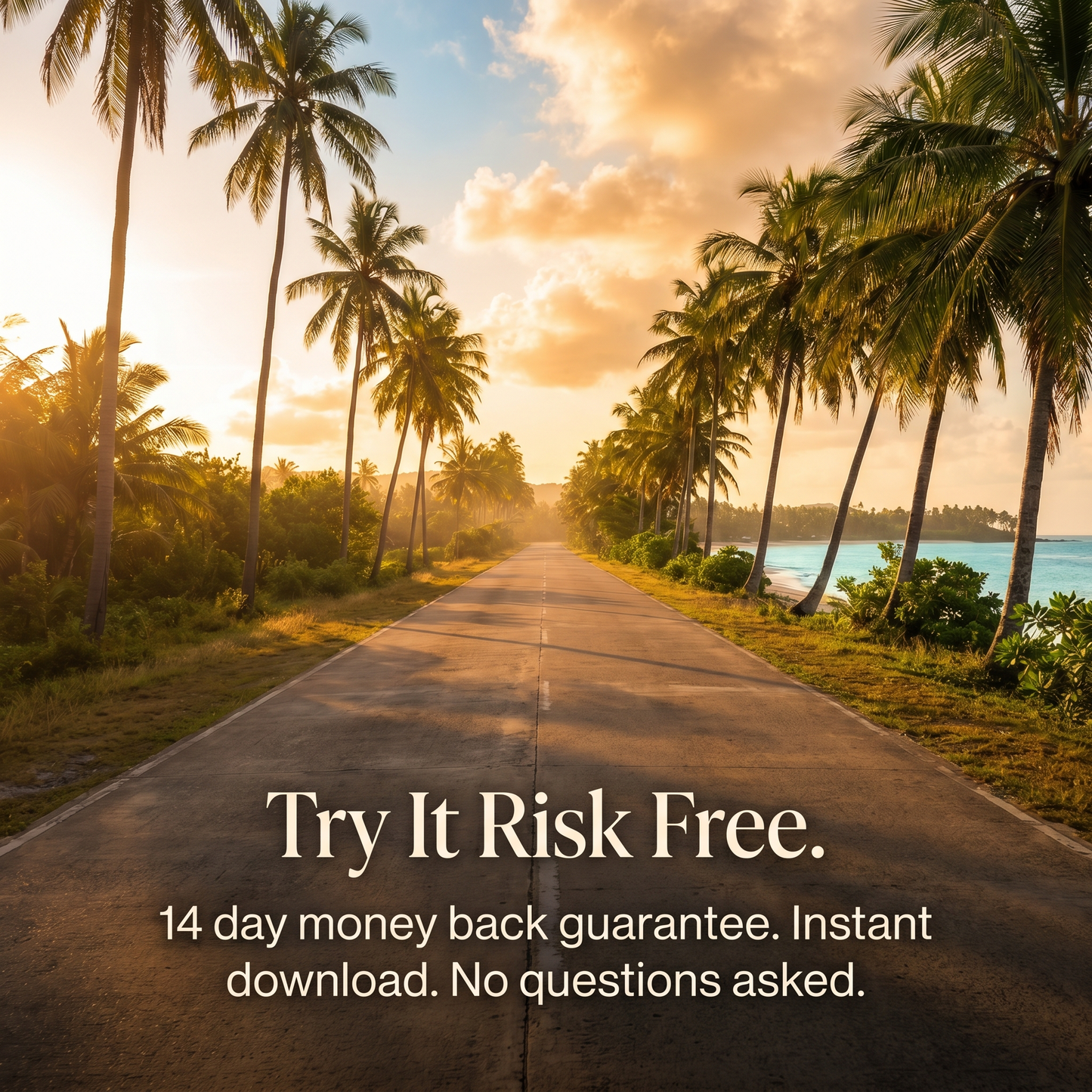
14 day money back guarantee · works on any device · instant download
Everyone Drives This Coast.
Very Few Drive It Well.
Wrong reef operator. Wrong season. Wrong beach north of Rockhampton. 2,500 km of coast and most people waste half of it on the Bruce Highway without knowing what they missed. This guide makes sure you don't.
🚗 Driving Rules: NSW & Queensland
Two states, two enforcement systems. NSW runs unmarked mobile speed cameras with zero tolerance above 4 km/h over. Queensland drops speed limits without warning on the Bruce Highway. Cane trains have right of way at marked crossings in sugar country. And the single rule that kills tourists every wet season: if it's flooded, forget it. This chapter covers tolls, school zones, wildlife hours, and what happens when a cassowary steps onto the road north of Cardwell.
- Sydney Harbour Bridge tolls and Linkt rental setup
- Bruce Highway flood zones and QLDTraffic live check procedure
- Cassowary crossing zones: 60 km/h strict, fines enforced
🪼 Stinger & Cyclone Calendar
From October through May, box jellyfish and Irukandji populate north Queensland waters. Stings are life threatening. Most tourists don't find out until they're standing on the beach reading the sign. This chapter rates every month from 1 to 10, maps every safe swim alternative from Agnes Water to Cape Tribulation, and tells you exactly when the dry season opens the coast properly. July and August score 10/10. January and February score 2/10. The difference is your entire trip.
- Stinger free swimming: Cairns Esplanade Lagoon, Airlie Beach Lagoon, reef pontoons
- Cyclone season peaks January to March. Bruce Highway closes for days
- Best months: July to August. Reef visibility peaks, whales migrating, warm and dry
📍 14 Day Itinerary: GPS Mapped
Day by day from the Harbour Bridge to the Cairns Esplanade. Day 3: Cape Byron Lighthouse, the easternmost point of mainland Australia. Day 7: Fraser Island, the world's largest sand island. Day 10: Whitehaven Beach, 98% silica sand. Day 14: Great Barrier Reef. Every stop has a GPS coordinate, a departure time, and accommodation priced across three budget tiers. 21 day extended version included for the Daintree, Hunter Valley, and a proper reef stay.
- Day 9 warning: Agnes Water to Airlie Beach is 700 km. Plan or fly
- Whitehaven Beach and Hill Inlet: operator comparison and booking windows
- Daintree River ferry crossing: timing, cost, crocodile awareness
🐟 Reef Operator Comparison Matrix
There are 800+ tourist operators on the Great Barrier Reef. The difference between the top 5 and the bottom 300 is the difference between a memory and a refund. This chapter ranks six operators by experience type, price, reef site quality, and crowd level. Silversonic for certified divers. Passions of Paradise for budget and romance. Reef Magic for families. Plus the decision most people never see: Port Douglas operators reach the outer reef where coral is healthier and visibility doubles.
- Inner reef vs outer reef: bleaching impact, visibility, coral quality
- Stinger suits: free or $5 rental on every operator November to May
- Best time for reef: August to October. Visibility peaks at 20 to 30 metres
🍽️ Coastal Culinary Trail
From the southern hemisphere's largest fish market in Sydney to mud crab at the Cairns waterfront. Moreton Bay bugs on the Gold Coast. Scallops and spanner crabs in Hervey Bay. Cape Tribulation tropical fruit tastings. Destination restaurants from Quay ($295 tasting) to The Farm Byron Bay (paddock to plate). Plus the things you can only try here: barramundi, kangaroo served rare, pavlova, and Tim Tams from any servo along the way.
- Rusty's Markets, Cairns: local tropical produce every Friday to Sunday
- Nautilus Port Douglas: $195 tasting in a tropical garden
- Cape Trib Exotic Fruit Farm: rollinias, mangosteens, soursops ($30 AUD)
+ 5 more chapters inside the guide
Budget Breakdown · Sydney to Byron Bay Deep Dive · Gold Coast & Sunshine Coast · Tropical North: Townsville to Daintree · Surf Break Ratings
Everything packed
inside the guide
GPS Coordinate Database
Every beach, lookout, lighthouse, wildlife stop and restaurant with precise coordinates. Copy into Google Maps or Apple Maps. Works offline once saved.
Reef Operator Matrix
6 operators compared by price, reef site, experience type, and crowd level. Port Douglas vs Cairns. Snorkel vs dive. Pontoon vs sail. The choice that defines your reef day.
Stinger & Cyclone Calendar
All 12 months rated 1 to 10 with swim safety, cyclone risk, crowd levels and reef visibility. Know which months open the coast and which ones close it.
Surf Break Ratings
Byron's The Pass for beginners. Snapper Rocks for experts. Noosa Point for longboarders. Agnes Water, the last surf beach heading north. Difficulty rated, conditions mapped.
Crocodile & Cassowary Protocol
From Rockhampton north, saltwater crocodiles inhabit all waterways including beaches. Cassowaries north of Cardwell can disembowel. Species specific rules, zone maps, what to do.
Emergency & Connectivity
Surf Life Saving contacts, marine stinger hotlines, hospital locations for remote stretches. Cell coverage gaps on the Bruce Highway mapped. eSIM setup for international visitors.
You've Flown Over This Coast
a Dozen Times. Time to Drive It.
Most Aussies can name every beach in Bali but can't tell you the difference between Noosa and Byron. The East Coast is 2,500 km of reef, rainforest and surf that sits right there in your own backyard. The problem isn't distance. It's that nobody has planned it properly for someone who actually lives here.
Researched, Not Generated
Reef operators dived personally. Stinger beaches walked. Bruce Highway flood zones driven in the wet. Every coordinate, price, and operator ranking comes from actually doing the trip, not scraping a blog.
Built Around Your Leave, Not a Gap Year
14 days if that's all you've got. 21 days to do it properly. Plus the decision matrix most travellers never see: when it's smarter to fly Brisbane to Cairns and drive only the good parts instead of spending three days on the Bruce Highway.
The Safety Layer Nobody Else Publishes
Stinger season turns half the coast into a no swim zone. Crocodiles inhabit every waterway north of Rockhampton. Cyclones close the highway for days. This guide tells you which risks are real, which are overstated, and exactly what to do about each one.
Pays for Itself Before You Leave Sydney
One wrong reef operator costs $290 and a wasted day. One speed camera fine on the M1 starts at $275 AUD. One missed stinger warning costs a hospital visit. The guide costs less than one mistake on the coast.
"Route 66 with a wetsuit."
14 day money back guarantee. No questions. Instant download.