


★★★★★ Excellent 4.8
The Red Centre Way: Uluru, Kings Canyon & the Australian Outback
The Red Centre Way: Uluru, Kings Canyon & the Australian Outback
The outback is not a scenic drive. It is a survival environment that happens to be the most ancient and extraordinary landscape on Earth. This is how you do it right.
🗺️ Complete 1,100 km Circuit: Alice Springs, West MacDonnells, Kings Canyon, Uluru, Kata Tjuta
📍 GPS Coordinates: every gorge, waterhole, lookout and cultural site mapped ☀️ Heat Survival Protocol: month by month ratings, trail closure thresholds, early start schedules
⛽ Fuel & Distance Matrix: every servo Alice to Yulara, Mereenie Loop permit, satellite phone rental
🪨 Uluru & Kata Tjuta Walk by Walk: Base Walk, Valley of the Winds, sunrise and sunset protocols
🌌 Bortle 1 Stargazing Guide: new moon planning, Milky Way calendar, camera settings, dark sky coordinates
🧭 Anangu Cultural Guide: ethical engagement, sacred site protocols, how to buy Aboriginal art in Alice
No AI filler. No recycled blog posts. Researched on the ground.
Couldn't load pickup availability
What's included
What's included
A Red Centre guide with GPS coordinates, heat survival protocol, fuel matrix, Uluru walk-by-walk, Bortle 1 stargazing, and Anangu cultural guide.
How to use
How to use
Download the PDF after purchase, open it on your phone, and follow the GPS points and daily plan step by step while driving.
Our help & support center
Our help & support center
We are dedicated to ensuring your satisfaction. Our team is always available to assist you with any questions or issues you may have. Our goal is to help you grow your business and achieve success.
Support Email: travelers@europetrip.us
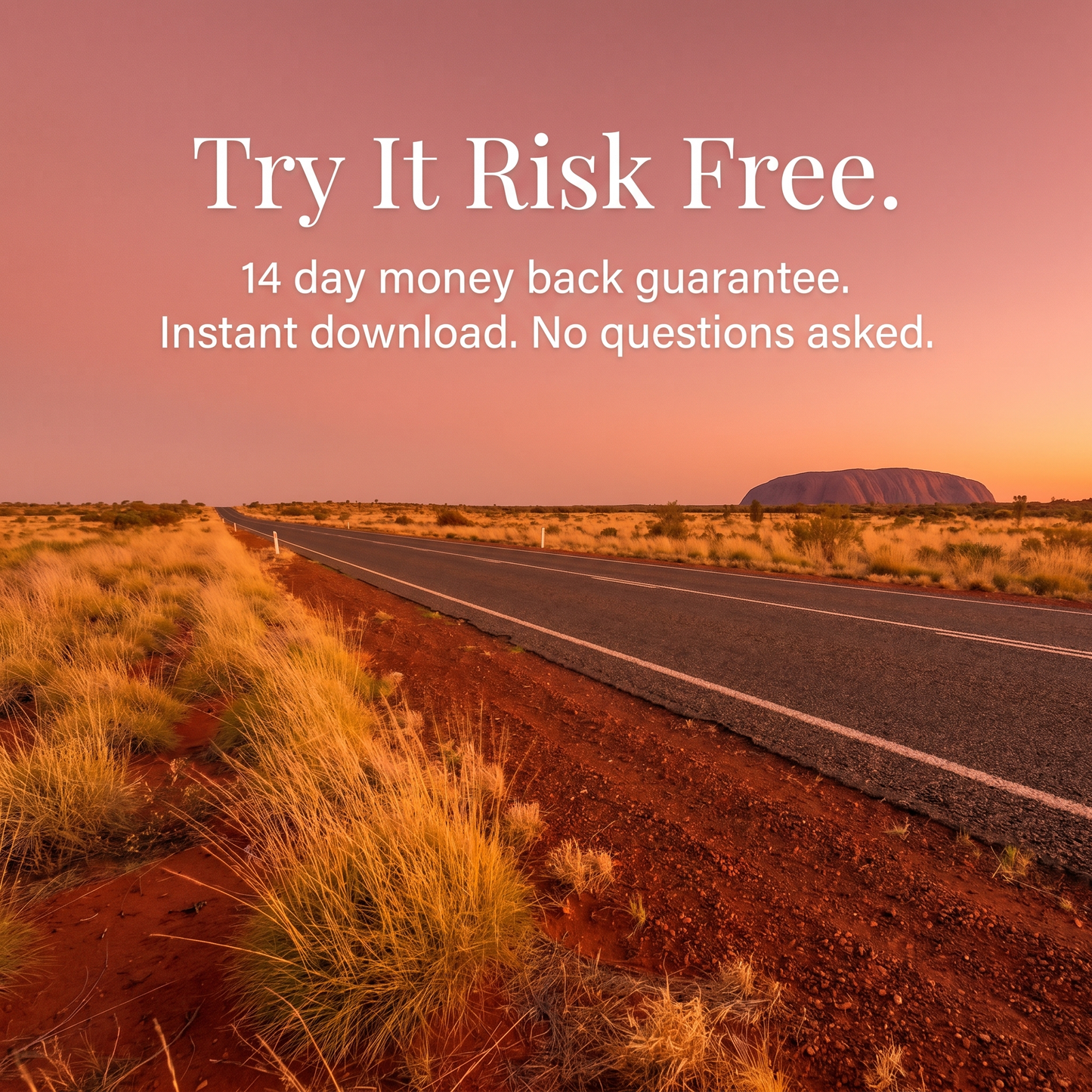
14-Day Refund Policy
14-Day Refund Policy
We offer a 14-day refund policy.
If you are not satisfied with your purchase, you may request a refund within 14 days of the purchase date. To be eligible, you must contact our support team within this period and provide your order details.
Support team email: helena.europetrip@gmail.com
Refunds will be processed to the original payment method within a few business days after approval.
If you have any questions, our support team is here to help.


The Red Centre Way:
Uluru, Kings Canyon &
the Australian Outback
The outback is not a scenic drive. It is a survival environment that happens to be the most ancient and extraordinary landscape on Earth. 1,100 km through Anangu country, sealed roads, Bortle 1 skies. This is how you do it right.
14 day money back guarantee · works on any device · instant download
You Don't Drive the Outback.
The Outback Drives You.
Heat that closes trails by 11 AM. Distances measured in fuel tanks. A culture 30,000 years older than any city you have ever visited. The Red Centre rewards preparation and punishes improvisation. This guide is the preparation.
🚗 Outback Survival Rules
The longest chapter in the guide. Read it twice. Summer highs break 42°C and walking Uluru at midday is genuinely dangerous. The Kings Canyon Rim Walk closes before 11 AM when the forecast exceeds 36°C. Distances between fuel stops exceed 300 km with no alternatives. Cattle on the road at night are the leading cause of rollovers in the Northern Territory. Road trains stretch 53 metres. Camels weigh 700 kg. This chapter covers every risk, every fuel station Alice to Yulara, and exactly what to do when you break down with no signal and the nearest town is 90 km back. The rule: stay with the vehicle. Every year tourists walk for help and die of dehydration.
- Fuel matrix: every servo from Alice Springs to Yulara, distance and drive time
- Heat protocol: monthly ratings 1 to 10, trail closure thresholds, 4:30 AM hiking schedule
- Wildlife windows: kangaroos, emus, camels and cattle. Do not drive between dusk and dawn
☀️ Heat & Fly Calendar
Every month rated 1 to 10 with daytime high, overnight low, trail access, crowd levels and fly density. May through August score 10/10. December and January score 2/10. The difference is your entire trip. June is the sweet spot: cool days, tolerable nights, minimal flies, dry weather virtually guaranteed. September through November brings the bush fly. They do not bite. They crawl into eyes, mouths, noses. A fly net from any Alice Springs servo ($10 AUD) is not optional. Locals wear them. Tourists who skip them regret it within ten minutes.
- Best window: May through August. June peak conditions, July best for stargazing
- Trail closure rule: Uluru Base Walk and Kings Canyon Rim Walk close to start after 11 AM above 36°C
- Fly net timing: September to November. Buy before Alice Springs, not at Yulara ($10 vs $22)
📍 7 Day Itinerary: GPS Mapped
Day by day loop from Alice Springs. Day 1: Alice Springs Desert Park and Anzac Hill at sunset. Day 2: West MacDonnell Ranges, Standley Chasm at noon when light reaches the floor, Ellery Creek swimming hole, Ormiston Gorge. Day 4: Kings Canyon Rim Walk, alarm at 4:30 AM, the Garden of Eden, the Lost City sandstone domes. Day 6: Kata Tjuta Valley of the Winds at dawn, the Uluru Base Walk at first light, the Cultural Centre in the afternoon. Every stop has a GPS coordinate, departure time, and accommodation priced across three budget tiers. 5 day compact version also included.
- Kings Canyon Resort books out 3 to 4 months ahead in June through August
- Standley Chasm at solar noon: the only window when light enters the narrow walls
- Mt Conner warning: often mistaken for Uluru from the Lasseter Highway. Uluru is 100 km further west
🪨 Uluru & Kata Tjuta Walk by Walk
Uluru in person is almost nothing like the photographs. It changes colour with the angle of the sun. At dawn and dusk it does not glow, it radiates. Kata Tjuta, 40 km west, is the more atmospheric of the two and most travellers discover this too late. The Valley of the Winds walk will change your understanding of the Centre. Walk by walk: distances, difficulty, sacred site protocols, photographic restrictions, and the cultural meaning behind each formation. The climb closed permanently in October 2019 at Anangu request. The ground level experience is richer.
- Talinguru Nyakunytjaku: the sunrise viewpoint that shows both Uluru and Kata Tjuta simultaneously
- Kuniya Walk to Mutitjulu Waterhole: the most sacred site open to visitors. Start in silence
- Valley of the Winds full loop: 7.4 km, 3.5 hrs. Closes above 36°C. The best hike in the Red Centre
🌌 Bortle 1 Stargazing Guide
The skies over Uluru carry a Bortle 1 rating, the darkest classification possible. No cities within 450 km. Most Australians have never actually seen the Milky Way. Here you will. What you see on a clear new moon night in winter: the Milky Way core rising as a thick bright river, the Magellanic Clouds (two dwarf galaxies visible only from the Southern Hemisphere), the Southern Cross, and the zodiacal light before dawn. The Anangu read the night sky differently: the Milky Way is the Emu in the Sky, visible in the dark cloud negative space rather than its stars. Ask your guide.
- New moon ± 5 days is the window. Check the calendar before you book
- Three dark sky viewing coordinates with red light headlamp recommendations
- Camera settings: 24 mm, f/2.8, 15 to 20 second exposure, ISO 3200. Tripod essential
+ 5 more chapters inside the guide
Budget Breakdown · West MacDonnell Ranges Deep Dive · Kings Canyon & Watarrka · Anangu Cultural Guide & Ethical Engagement · Emergency & Connectivity
Everything packed
inside the guide
GPS Coordinate Database
Every gorge, waterhole, lookout, cultural site, fuel stop and accommodation with precise coordinates. Copy into Google Maps or Apple Maps. Works offline once saved.
Heat Survival Protocol
Month by month ratings 1 to 10. Trail closure thresholds. 4:30 AM hiking schedule. Fly net timing. Minimum water requirements per person per day per hike.
Fuel & Distance Matrix
Every servo from Alice Springs to Yulara, distance, drive time and fuel availability. The Mereenie Loop permit guide. Satellite phone rental sources in Alice. The difference between making it and walking 80 km in 40 degrees.
Walk by Walk Guides
Uluru Base Walk, Mala, Kuniya, Kata Tjuta Valley of the Winds, Kings Canyon Rim Walk. Distance, difficulty, best start time, sacred site protocols and photographic restrictions.
Bortle 1 Stargazing Guide
New moon planning, three dark sky coordinates, camera settings for astrophotography. Anangu astronomy and the Emu in the Sky. Organised tour comparison from Astro Tours Alice Springs to Sounds of Silence.
Anangu Cultural Guide
Ethical engagement protocols, sacred site rules, photography restrictions. Which operators employ Traditional Owners. How to buy Aboriginal art ethically in Alice Springs. Three galleries that pay artists fairly.
You've Lived in Australia All Your Life.
And Never Seen Its Heart.
Most Aussies have flown over the Red Centre on the way to somewhere else. Few have actually driven it. The reason is not distance. It is that the outback genuinely punishes the unprepared, and nobody has packaged the preparation properly for someone who actually lives here and wants to do it right.
Researched, Not Generated
Every gorge walked, every waterhole swum, every fuel station logged. The Mereenie Loop driven in the dry. The Cultural Centre visited with Traditional Owners. None of this comes from aggregators or AI filler. It comes from actually doing the trip.
The Survival Layer Nobody Else Publishes
Heat that kills tourists every summer. Cattle and camels on the road at night. Mobile dead zones across the entire region. This guide tells you which risks are real, which are overstated, and exactly what to do about each one in plain language.
Cultural Depth, Not Tourist Gloss
Uluru is Anangu country. The most rewarding trip is the one where you understand what you are looking at. We name the operators that employ Traditional Owners, the galleries that pay artists fairly, and the protocols that make you a good visitor on country.
Pays for Itself Before You Leave Alice
One missed fuel stop costs a tow truck and a day. Yulara fuel is 25% more expensive than Alice Springs. Kings Canyon Resort sells out months ahead. One mistake on the Mereenie Loop without a permit or the right vehicle costs more than the guide. The guide costs less than one mistake.
"Silence, starlight, and the oldest living culture on Earth."
14 day money back guarantee. No questions. Instant download.