


★★★★★ Excellent 4.8
Pacific Coast Highway: The Complete Drive
Pacific Coast Highway: The Complete Drive
No missed viewpoints, no wrong stops, no wasted miles, just the Pacific Coast Highway, driven the right way.
🌊 Complete Coastal Route with GPS Coordinates for Every Stop
🗺️ Turn-by-Turn Maps & Structured Daily Itinerary
📍 All Key Stops: Scenic Pullouts, Beach Towns, Trails & Hidden Gems
📈 Optimized Timing for Views, Wildlife & Driving Flow
♾️ Lifetime Access + Future Updates
🌎 Full California Coast Coverage: Golden Gate to Mexican Border
⭐️ Real-Tested Route (No Generic or Surface-Level Content)
Couldn't load pickup availability
What's included
What's included
Everything you need to experience California’s coast properly, without stress.
🗺️ Complete Coastal Itinerary (7+ Days)
Structured route from San Francisco to San Diego.
📍GPS-Ready Stops & Scenic Pullouts
Every viewpoint, beach, and key stop mapped and ready.
💰 Optimized Timing & Travel Flow
Best times for views, driving, and avoiding crowds.
📸 Hidden Viewpoints & Local Spots
Secret coastal views, beach towns, and authentic locations.
📚 Nature, Wildlife & Local Context
Tide pools, wildflowers, and cultural insights along the route.
♾️ Lifetime Access
Pay once, use forever. Includes future updates.
How to use
How to use
Plan your coastal drive effortlessly, from start to finish.
📥 Download & Access Instantly
🗺️ Follow the Suggested Itinerary
📍 Navigate with GPS Stops
🌅 Drive at the Right Time
🔁 Customize Your Trip
Our help & support center
Our help & support center
We are dedicated to ensuring your satisfaction. Our team is always available to assist you with any questions or issues you may have. Our goal is to help you grow your business and achieve success.
Support Email:helena.europetrip@gmail.com
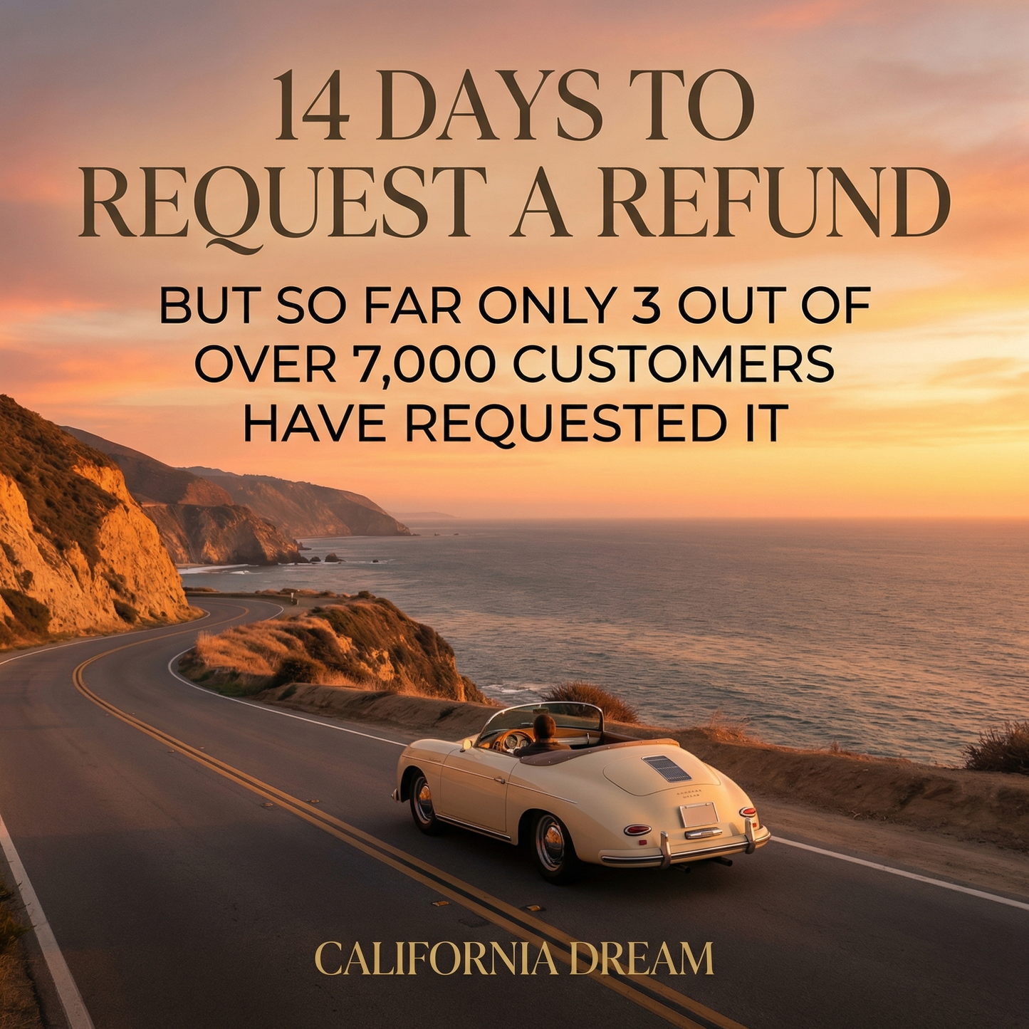
14-Day Refund Policy
14-Day Refund Policy
We offer a 14-day refund policyfor all the products.
If you are not satisfied with your purchase, you may request a refund within 14 days of the purchase date. To be eligible, you must contact our support team within this period and provide your order details.
Support team email: helena.europetrip@gmail.com
Refunds will be processed to the original payment method within a few business days after approval.
If you have any questions, our support team is here to help.


Pacific Coast Highway: The Complete Drive
1,500 Miles of Pacific Coastline. Seattle to San Diego.
America's most scenic coastal corridor, from rainforests to desert beaches. This guide covers the full route from Washington's Olympic Peninsula through Big Sur's dramatic cliffs to San Diego's Coronado Beach — with GPS overlooks, coastal dining, and fog navigation for every stretch.
14-day money back guarantee · works on any device · instant download
12 Days. 3 States.
America's Most Scenic Coastline.
From Washington's temperate rainforests to Southern California's beach culture — every stretch covered with GPS coordinates, coastal dining picks, and fog navigation for the sections that catch drivers off guard.
🌲 Washington Coast — Olympic & Rainforest
From Seattle south through Olympic National Park's temperate rainforest, Ruby Beach sea stacks, and the dramatic Kalaloch coast before crossing into Oregon. The Hoh Rainforest alone is worth an extra night — moss-draped Sitka spruce older than European settlement.
- Ruby Beach GPS: exact access point and tide timing
- Olympic rainforest: best entry point and trail guide
- Dungeness crab spots: working docks in Westport and Astoria
🦀 Oregon Coast — America's Hidden Gem
The most underrated stretch of the Pacific coast: Cannon Beach's Haystack Rock, Cape Perpetua's tidal pools, and Oregon Dunes — all public land, all free. Oregon's coast is almost entirely state-owned, which means no private beach restrictions and no admission fees.
- Haystack Rock coords: low tide timing for the tidal pools
- Cape Perpetua: best overlook GPS and spouting horn timing
- Local Ocean Seafoods GPS: Newport's best working-harbor restaurant
🌲 Northern California — Redwoods & Lost Coast
Avenue of the Giants sequoia drive, the remote Lost Coast, and the approach to Mendocino through coastal fog. The Lost Coast is one of the last undeveloped stretches of California coastline — a deliberate detour that most PCH drivers skip entirely.
- Avenue of Giants GPS: the Founders Tree and Immortal Tree coords
- Lost Coast access: Shelter Cove road conditions and timing
- Fog timing guide: when NorCal coast burns off by month
🌉 Big Sur — California's Crown Jewel
90 miles of the most dramatic coastline in North America: Bixby Creek Bridge, McWay Falls, Pfeiffer Beach purple sand — and complete road condition guidance. Hwy 1 through Big Sur closes regularly; this guide includes current closure protocols and detour options.
- Bixby Bridge coords: best photography angle and light window
- McWay Falls: exact timing for the falls to catch sunlight
- CalTrans closure tips: how to check conditions before you drive
🌅 Southern California — Malibu to San Diego
The Pacific Coast Highway at its most cinematic: Malibu's celebrity coast, Santa Barbara's Mission architecture, and the finish at San Diego's Coronado Beach. The final stretch through Ventura and Oxnard is the least photographed — and has the best seafood of the entire drive.
- Malibu overlooks: Point Dume coords and parking access
- Santa Barbara dining: the State Street and harbor recommendations
- Coronado Beach GPS: best finish-line viewpoint at sunset
+ Fog navigation guide, coastal camping tips, and full seasonal breakdown inside
Everything packed
inside the guide
12-Day Itinerary
Day-by-day structure with drive times, GPS coordinates, and accommodation for all 12 days. Built around realistic coastal driving — not a rush through Big Sur.
Three Budget Tiers
Complete cost breakdown at $90, $250, and $500/day — fuel, coastal dining, and oceanfront stays. Oceanfront accommodation pricing is the variable that most guides ignore.
Coastal Dining Guide
Restaurant names, GPS coordinates, and specialties: Dungeness crab, oysters, fish tacos, and working harbor restaurants from Westport to San Diego.
Fog & Weather Guide
Month-by-month breakdown: when to expect marine fog, best photography windows, and how to navigate safely through Big Sur and the NorCal coast.
GPS Overlook Coords
Verified coordinates for every scenic pullout, hidden beach, and panoramic viewpoint along the full 1,500 miles. Includes access notes for spots not on standard maps.
Seasonal Timing
September–October is peak. Full breakdown of what each month offers — and which months avoid the June Gloom in SoCal and the winter closures in Big Sur.
More Than a Guide.
A Road Built to Be Understood.
The Pacific Coast Highway isn't a single numbered road — it's a patchwork of US-101, CA-1, and coastal highways that rewards those who know exactly where to turn. Most drivers experience a fraction of what's available. This guide is built for the rest of the route.
Researched, Not Generated
Built from actual coastal drives, actual seafood meals, and actual overnight stays from Washington to San Diego. Every recommendation comes from being there.
Fog Navigation Included
Marine fog patterns explained by stretch — know when it burns off, when to expect zero visibility, and how to drive Big Sur safely in June and July when fog is thickest.
Realistic Budget Data
Three tiers updated for 2026: $90–$500/day with honest estimates including oceanfront accommodation costs that most budget guides dramatically underestimate.
Works Offline, Any Device
Cell service disappears in Big Sur and northern Oregon. Download once — no signal needed. GPS coordinates load into any mapping app before you lose reception.
The PCH is easy to drive.
Hard to drive well.
Most people follow the highway and see what's visible from the road. These are the places that aren't — the hidden beaches, the working-harbor restaurants, the overlooks that don't have signs. GPS coordinates included as a preview of what's inside.
Secret Beach, Samuel H. Boardman
A 400-foot sea arch accessible via a half-mile trail that almost no one takes. No sign on the highway. Locals know it as the best photographic spot on the entire Oregon coast.
Tides Wharf, Bodega Bay
A working commercial dock turned restaurant — the same harbor that appeared in Hitchcock's The Birds. Dungeness crab in season, Bodega Bay oysters, and a seafood chowder that justifies the detour.
Partington Cove
A sea tunnel carved through rock that opens to a protected cove — a 15-minute hike from a turnout that most drivers pass at 60mph. No fee, no crowds, no sign visible from the road.
Piedras Blancas Elephant Seal Colony
Up to 17,000 elephant seals hauled out on a public beach, free access year-round. The January–February pup season is one of the most extraordinary wildlife spectacles in North America — 5 minutes off the highway.
El Matador State Beach
Sea stacks, sea caves, and a beach that looks like it belongs in Iceland — 45 minutes north of Santa Monica. Accessed via a steep trail. No food vendors, no lifeguards, no crowds on weekday mornings.
Willapa Bay Oyster Farms, Nahcotta
Buy oysters directly from the farm at Taylor Shellfish's Nahcotta dock — still cold from the water, $12/dozen. One of the last places on the Pacific Coast where you can eat shellfish feet from where it was harvested.